
The UK’s economic landscape is undergoing a rapid transformation. As the nation seeks to build a more sustainable, innovative, and resilient future, the role of geospatial insights becomes increasingly pivotal.
By harnessing the power of location data, businesses, governments, and communities can make informed decisions, identify opportunities, and address challenges with unprecedented precision.
Economic Opportunities: A Location Advantage
The UK’s geographic position, combined with its robust infrastructure, makes it a prime location for economic growth. Geospatial data can be a catalyst for unlocking this potential.
- Investment Attraction: By providing detailed insights into factors such as population density, transport connectivity, and land availability, geospatial data can help attract investment to regions with high growth potential. For instance, identifying areas with a young, skilled workforce and proximity to research institutions can be crucial for attracting tech startups and innovation hubs.
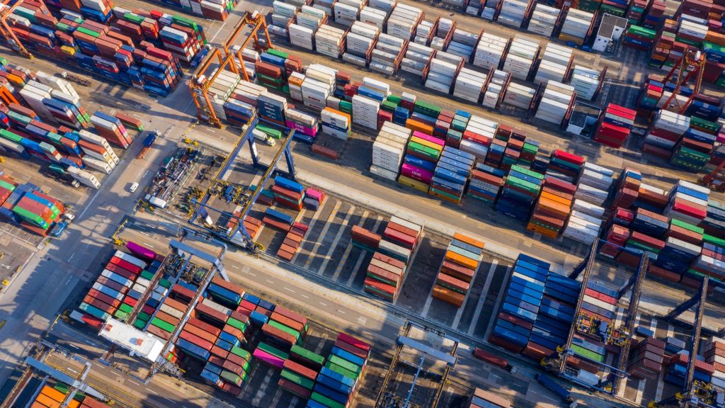
- Supply Chain Optimisation: Geospatial analysis can optimise supply chains by identifying the most efficient routes, warehouse locations, and distribution centres. This can lead to significant cost savings and improved service delivery.
- Real Estate Development: Understanding property values, market trends, and demographic changes through geospatial data can inform real estate development decisions. It can help identify areas with high demand for housing, commercial space, or industrial facilities.

Areas for Innovation: A Geo-Enabled Future
The UK is a hotbed of innovation, and geospatial data can fuel this creativity.
- Smart Cities: Geospatial data is essential for building smart cities, which rely on technology to improve the quality of life for residents. By analysing data on traffic patterns, air quality, and public services, cities can optimise resource allocation, reduce congestion, and enhance citizen well-being.
- Agriculture and Land Use: Geospatial data can revolutionise agriculture by providing insights into soil quality, crop yields, and weather patterns. This information can help farmers optimise production, reduce environmental impact, and ensure food security.
- Natural Resource Management: Geospatial data is crucial for managing natural resources sustainably. It can help identify areas with high biodiversity, assess the impact of climate change, and inform conservation efforts.

The Road to Sustainability: A Geospatial Compass
Addressing climate change and building a sustainable future requires data-driven solutions. Geospatial data can provide the necessary insights.
- Climate Change Adaptation: By analysing climate patterns, sea-level rise, and flood risk, geospatial data can help communities develop adaptation strategies. It can inform the design of infrastructure, land use planning, and emergency response.
- Renewable Energy: Spatial data can identify optimal locations for renewable energy projects, such as solar and wind farms. It can also help assess the environmental impact of these projects and optimise energy grid management.
- Sustainable Transportation: Geospatial data can be used to analyse transportation patterns, identify congestion hotspots, and plan sustainable transport infrastructure. This can help reduce carbon emissions and improve air quality.

Embracing the Power of Geospatial Insights: A Strategic Imperative
To fully realise the potential of geospatial data, the UK needs to invest in data infrastructure, develop skilled talent, and foster a data-driven culture.
Data Infrastructure
Building a robust geospatial data infrastructure is essential for sharing and accessing data across different sectors. This includes developing standards, data quality frameworks, and secure data platforms.
Talent Development
Investing in education and training programs to develop geospatial skills is crucial for building a skilled workforce. This will ensure that the UK has the talent needed to harness the power of geospatial data.
Data-Driven Culture
Creating a data-driven culture across government, businesses, and academia is essential for driving innovation and decision-making. This involves promoting data literacy, fostering collaboration, and encouraging data-sharing.
With the UK currently in an era characterised by rapid urbanisation, climate change, and global economic shifts, the value of geospatial intelligence cannot be overstated.
It is the compass guiding businesses, governments, and communities towards informed decision-making, sustainable practices, and economic prosperity. By embracing the power of location data, the UK can position itself as a global leader in innovation, sustainability, and economic growth.
Tracsis Geo Intelligence is committed to unlocking the potential of geospatial data for the UK market. Our expertise and advanced technologies enable us to provide actionable insights that drive positive change.