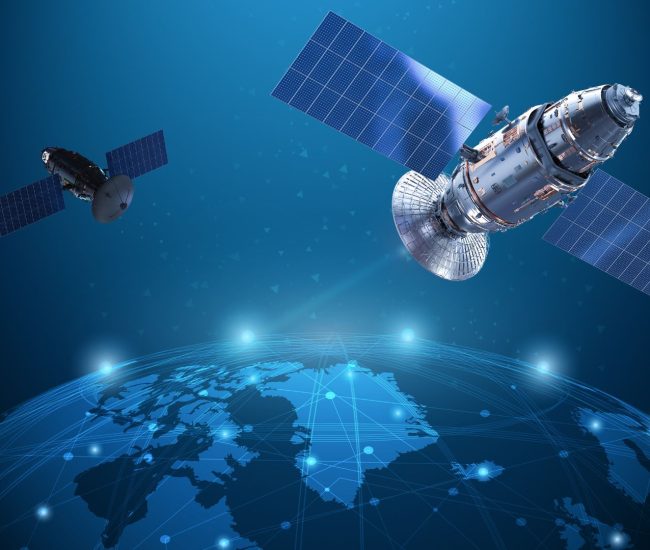


Unlock the power of Earth Observation (EO) with Tracsis Geo Intelligence. We harness the latest satellite and aerial imagery, combined with advanced analytics, to deliver actionable insights for a wide range of industries.
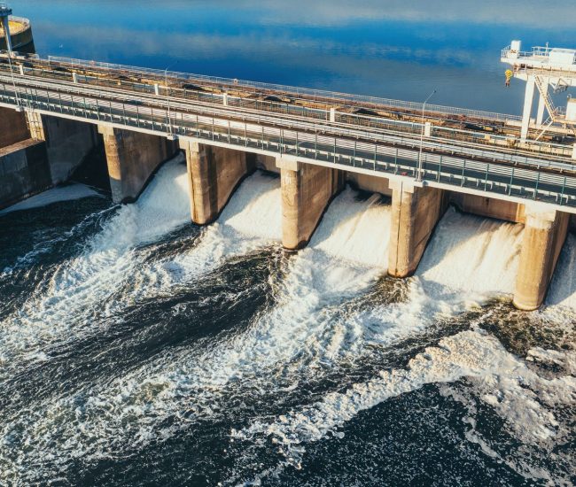
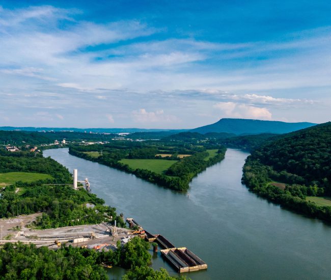
Ecology / Infrastructure
GIS Impact Assessment of European River Networks | EU AMBER