Flood Management is a significant challenge facing the United Kingdom, with devastating consequences for communities, businesses, and the environment. As climate change intensifies, the frequency and severity of flooding events are expected to increase, making effective flood management strategies more critical than ever.
Geospatial analysis, the process of examining and analysing spatial data, plays a crucial role in understanding, predicting, and mitigating flood risks.
The Growing Threat of Flooding
The UK has a long history of flooding, with major events occurring throughout its history. However, the changing climate is exacerbating the problem. Rising sea levels, more intense rainfall patterns, and increased urbanisation are all contributing factors to the growing threat of flooding.
In response to the increasing risk of flooding, various industries, companies, and government agencies are taking proactive measures to protect communities and infrastructure. This includes:
- Investment in Flood Defence Infrastructure: Building and maintaining flood defences such as sea walls, levees, and floodgates.
- Improved Flood Warning Systems: Developing and implementing advanced warning systems to alert people of impending floods.
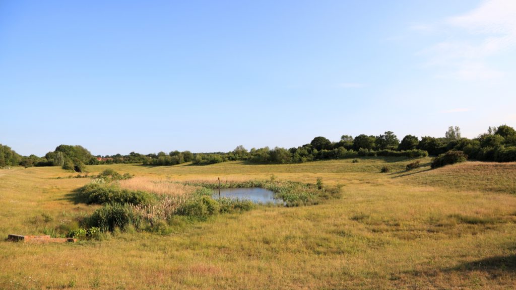
- Sustainable Land Management: Promoting sustainable land use practices to reduce the risk of flooding, such as tree planting and natural flood management techniques.
- Emergency Preparedness: Enhancing emergency response plans and training for dealing with flood events.
The Role of Geospatial Analysis
Geospatial analysis provides invaluable insights into flood risk assessment, prediction, and management. By leveraging geospatial data, such as topographic maps, satellite imagery, and hydrological data, experts can:
- Identify Flood-Prone Areas: Identify areas that are vulnerable to flooding based on factors like elevation, soil type, and proximity to water bodies.
- Model Flood Scenarios: Simulate different flood scenarios to assess potential impacts and evaluate the effectiveness of flood mitigation measures.
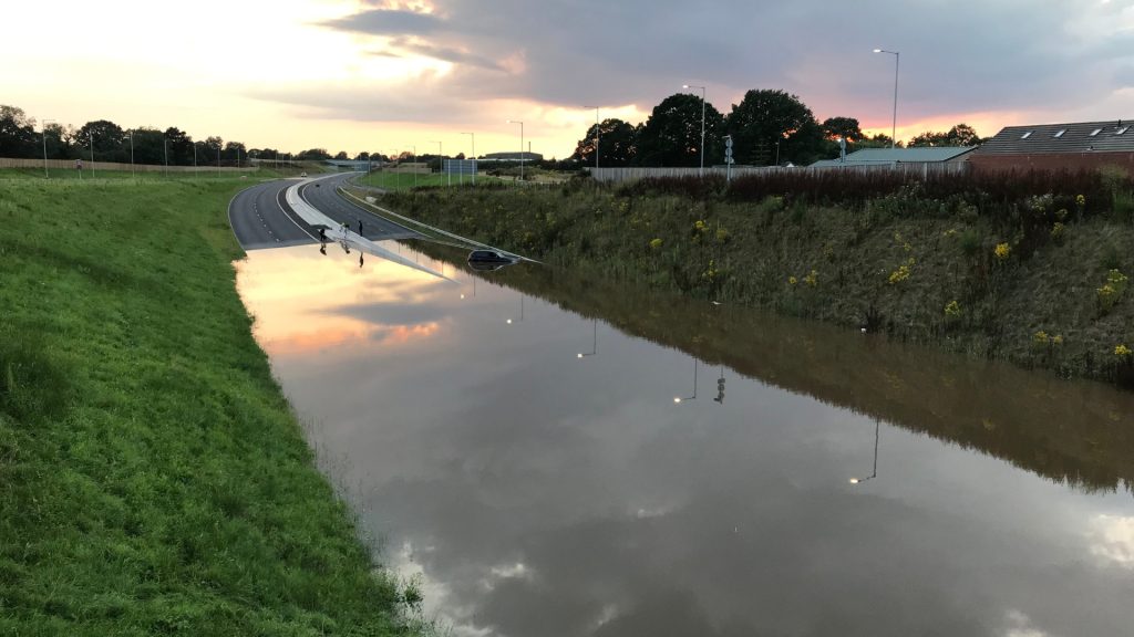
- Monitor Flood Events: Track the progress of floods in real-time using satellite imagery and other remote sensing technologies.
- Assess Flood Damage: Quantify the extent of flood damage and inform recovery efforts.
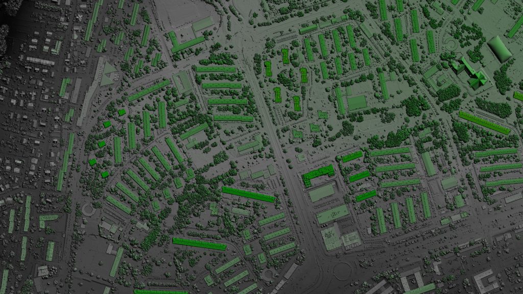
Geospatial Data and Earth Observation
Earth observation technologies, such as satellite remote sensing and drones, are essential for collecting geospatial data. These technologies provide high-resolution imagery and measurements that can be used to monitor changes in land cover, water bodies, and flood patterns.
Several UK cities and regions have implemented successful flood management strategies that incorporate geospatial analysis:
- London: The Environment Agency in London uses geospatial data to develop flood risk maps and inform flood defence planning.
- York: The city of York has invested in flood prevention measures, including the construction of flood walls and the installation of flood gates, based on geospatial analysis.
- Somerset Levels: The Somerset Levels, a low-lying area in southwest England, have been affected by severe flooding in recent years. Geospatial analysis has been used to identify vulnerable areas and develop sustainable flood management solutions.
Playing a Role in Flood management
Tracsis Geo Intelligence is a leading provider of geospatial services that can play a vital role in supporting flood management strategies. Our expertise in data acquisition, processing, analysis, and visualisation enables us to deliver the following services:
- Flood Risk Assessment: Identifying flood-prone areas and assessing their vulnerability.
- Flood Modeling: Simulating flood scenarios to evaluate the effectiveness of mitigation measures.
- Flood Monitoring: Tracking flood events in real-time using satellite imagery and other remote sensing technologies.
- Flood Damage Assessment: Quantifying the extent of flood damage and informing recovery efforts.
By leveraging geospatial analysis and Earth observation, Tracsis Geo Intelligence is committed to helping the UK build a more sustainable and resilient future.
Our services can contribute to the development of effective flood management strategies that protect communities, businesses, and the environment from the impacts of climate change.
Geospatial analysis is a critical tool for addressing the challenges of flooding in the UK. By understanding flood risks, predicting future events, and implementing effective mitigation measures, we can protect our communities and infrastructure from the devastating impacts of climate change.
Tracsis Geo Intelligence is proud to play a role in advancing the field of geospatial analysis and supporting the UK’s efforts to build a more sustainable and resilient nation.