Ecology / Infrastructure
GIS Impact Assessment of European River Networks | EU AMBER
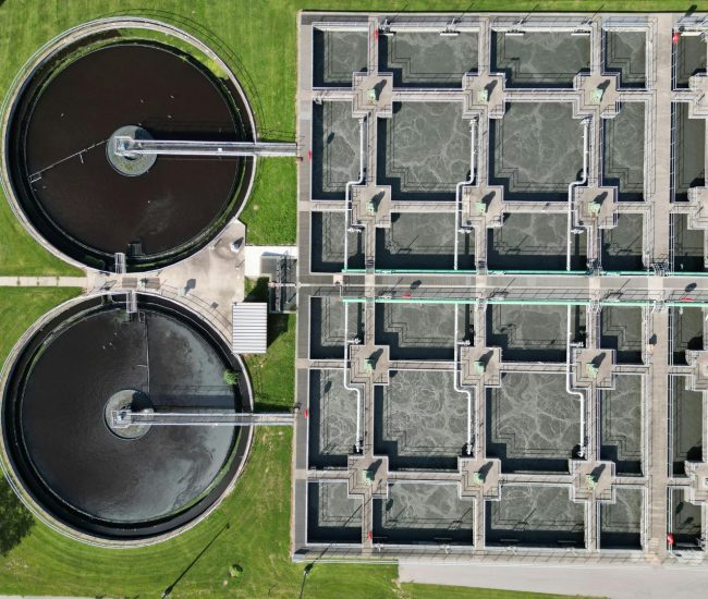
A complete bio‑solids management platform was deployed for Dŵr Cymru Welsh Water, replacing fragmented legacy processes with an end-to-end solution that tracks sludge from treatment plants to agricultural land using the Tracsis BIO platform.
Our BIO solution supports compliance with UK regulations including Environment Agency standards, the Safe Sludge Matrix, BAS and nitrate management requirements, reducing risk and ensuring adherence across all stages of biosolids handling.
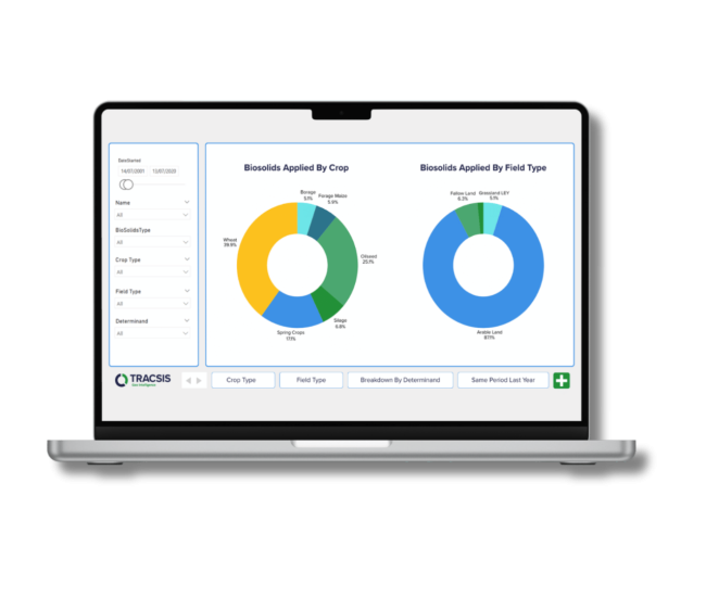
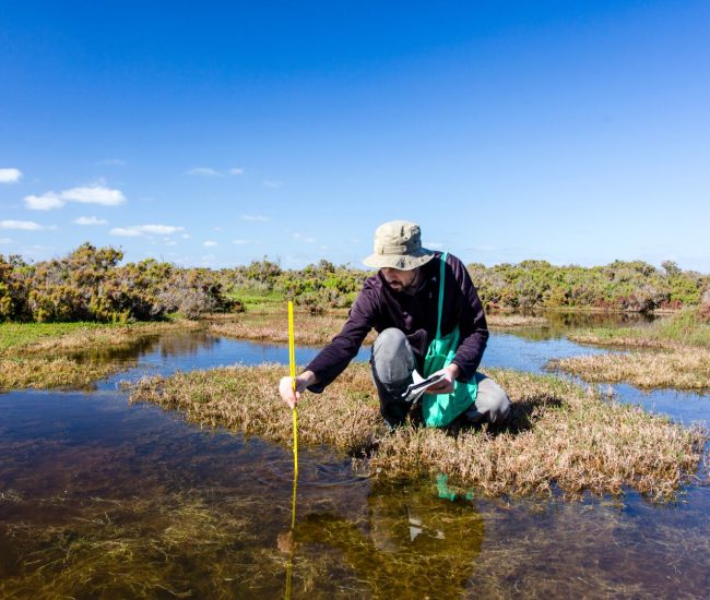
The platform captures biosolids movements from treatment works through to field application, automates soil sample results, and provides documentation tracking. This gave Welsh Water full visibility over operations and reduced manual administration.
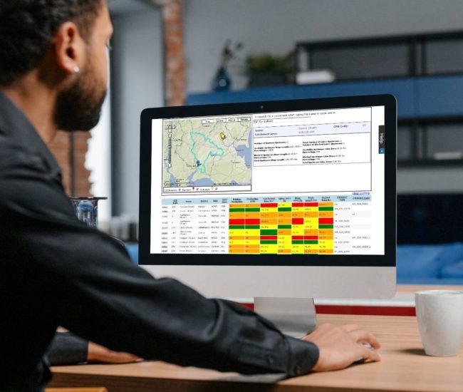
Our custom-built BIO platform connects seamlessly with JRP weighbridges and multiple data sources, delivering precise, real-time tracking of treatment centre operations and deliveries. It also automates reporting, stockpile inspections, and delivery documentation, reducing manual tasks while enhancing operational transparency.
Dŵr Cymru Welsh Water is a not-for-profit company which supplies drinking water and wastewater services to most of Wales and parts of western England that border Wales.
In total, it serves around 1.4 million households and businesses and around three million people – and supplies nearly 830 million litres of drinking water per day.
It is regulated under the Water Industry Act 1991 as amended by the Water Act 2014.
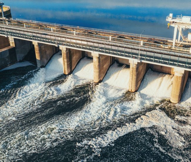
Biosolids are the residual material left over from sewage treatment processes, and can be spread on land as a fertiliser for agriculture.
Biosolids can contain heavy metals, pathogens and other harmful compounds so their use is strongly regulated by the Environment Agency.
Tracsis Geo Intelligence has worked with several water authorities to develop a cloud based tool to replace mainframe application and monitor the journey of biosolids from the time they leave the treatment plant to spreading on farm land.
Welsh Water required a fully integrated biosolids management solution that could operate seamlessly within their existing business and technical environments.
As part of a wider Sampling Analysis Management (SAMs) programme to replace the legacy Quality Database System (QDB), a detailed market review identified that only a specialised biosolids management platform could meet Welsh Water’s operational and compliance requirements.
The platform tracks and manages full operations and reporting for Biosolids. The implementation of the BIO solution for Welsh Water delivered the complete BIO system including;
The BIO solution was installed on premises in Welsh Water with user access internally via web browser and externally via Citrix VPN.
Tracsis Geo Intelligence, a sister company of Compass Informatics, emerges with a sharpened focus on Earth Observation, Sustainability, and the UK Market.
Building upon the expertise and experience of Compass Informatics, Tracsis Geo Intelligence offers a comprehensive suite of geospatial solutions.
Compass Informatics is a leading provider of geospatial solutions, specialising in the application of GIS, IT, and mobile technologies across various sectors, including transportation, environment and natural resources.
Tracsis Geo Intelligence and Compass Informatics are both part of the Tracsis Group.
To learn more about this project, and how the solution provided may benefit your organisation, please contact our team at contact@tracsis-geointelligence.com.


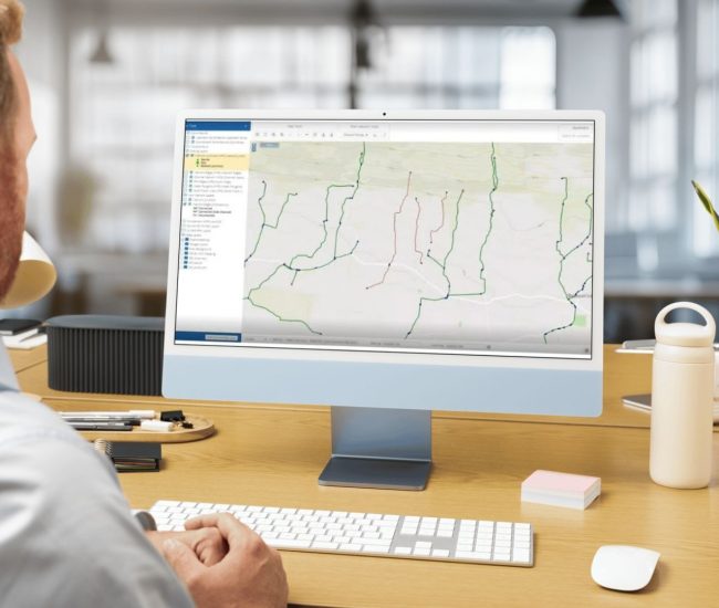
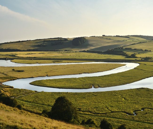
Our River & Catchment Management System provides advanced mapping and analysis tools for visualising river networks and identifying critical areas with the ability to create, modify and remove river network edges based on critical analysis, on a user friendly interface.
Knowing the location of sinks is important for monitoring water quality and tracking the movement of pollutants within a river network. This information helps in identifying pollution sources and implementing remediation measures. Sinks are also relevant for infrastructure planning, as they influence the design and placement of bridges, culverts, and other water-related structures.
Algorithms used for automatic flow direction calculation are based on digital elevation models (DEMs) and other spatial data, providing more accurate and consistent results than manual methods. This minimises human error and ensures data reliability. By using our HydroTools solution, users are able to automatically calculate flow direction streamlines river network analysis.
Moving river edges between hydrometric area boundaries within Hydro Tools enables precise adjustments to catchment delineations, ensuring accurate representation of water flow and contributing areas. This functionality is crucial for refining hydrological models, aligning data with regulatory boundaries, and facilitating seamless data integration across different administrative or monitoring zones, ultimately improving the reliability of analyses and management decisions.
Tracsis Geo Intelligence provides custom web applications which are a powerful solution for organisations seeking to improve their river and catchment management capabilities.
This use case outlines a proposed solution for organisations within the Transport, Agricultural, Environmental, Government & Community sectors across the UK and Europe. The solution leverages a combination of GIS solutions, data analytics, software, and mobile app development to enhance data management, analysis, and decision-making.
Organisations often struggle with disparate data sources, leading to inconsistencies in data formats and quality. This hinders accurate analysis and informed decision-making.
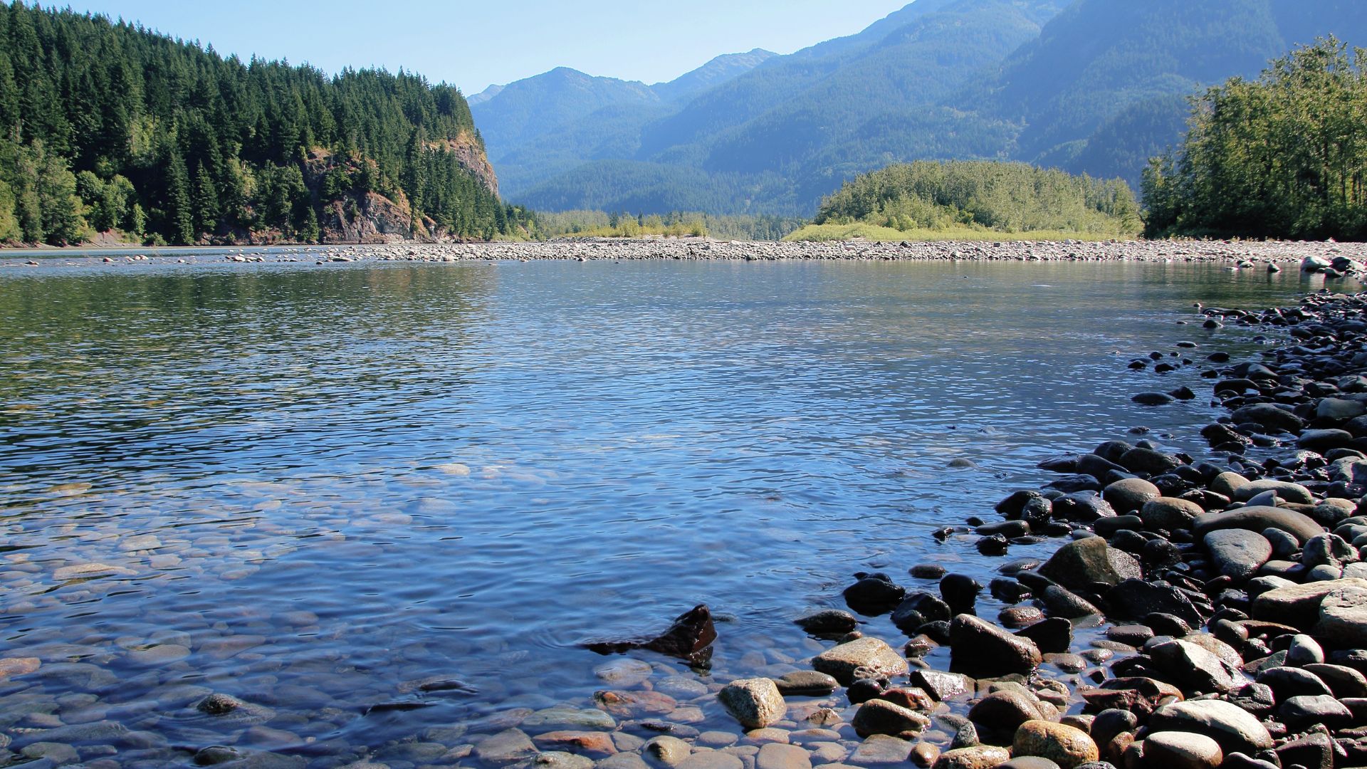
Analysing river networks, including flow direction, upstream/downstream connections, and proximity to features, can be complex and time-consuming. Traditional methods may lack the precision needed for effective management.
Accurately assessing sediment and nutrient loads and their potential impacts on river systems is crucial for environmental management. Lack of effective tools can hinder proactive mitigation efforts.
Pinpointing potential pollution sources and assessing water quality requires precise spatial analysis of river networks. Without real time data, and quick identification of sources can impact reaction times.
Evaluating the potential impacts of development projects on river systems requires comprehensive spatial analysis and modelling.
Tracsis Geo Intelligence design and develop custom web applications for managing, analysing, and visualising river networks.
We provide organisations with a full river network system that allows users to add and edit rivers while collecting and maintaining valuable data insights presented on a user-friendly interface.
Tracsis Geo Intelligence Hydro Tools provides users with the ability to create:
These web tools offer significant value across various environmental applications. In Water Quality Assessment, they pinpoint potential pollution sources upstream of sampling locations. For Flood Risk Assessment, they analyse upstream areas to identify flood sources and assess downstream impacts.
In Habitat Assessment, they determine the extent of upstream and downstream connectivity for aquatic species. Finally, in Environmental Impact Assessments, they evaluate the potential impacts of development projects on river systems.
For local authorities, maintaining water quality is paramount for public health and environmental stewardship. Tracsis Geo Intelligence’s Hydro Tools provide a powerful platform to achieve this. By enabling detailed river network analysis, pollutant tracking, and real-time monitoring integration, our solutions empower local governments to proactively manage water quality and respond swiftly to potential threats.
We have a proven track record of delivering these solutions to local authorities, resulting in tangible improvements in water quality monitoring, pollution source identification, and effective implementation of remediation strategies, ultimately safeguarding vital water resources for their communities.

Get the answers you need. Start your geospatial journey with Tracsis Geo Intelligence and get in touch with our specialists to learn more.