Skip to content
Case Study: Event Management Transport & Logistics

Commonwealth Games Routable Network – Canal & River Trust

Canal & River Trust (CRT) commissioned us to develop a routable network for the 2022 Commonwealth Games in Birmingham, England.

Improved Connectivity Between Venues and Public Transport

Using integrated datasets and proprietary routing software, Compass Informatics generated thousands of pedestrian-friendly routes within a 5km radius of each Commonwealth Games venue. This significantly enhanced travel options for visitors by linking roadways, towpaths, and transport nodes, helping to ease pressure on traditional infrastructure.

Reducing Congestion Through Smart Pathway Planning

By identifying the strategic value of CRT’s extensive towpath network, the project redirected visitor flow away from crowded streets and toward tranquil canal paths. This improved pedestrian safety, reduced congestion near event venues, and brought new visibility to overlooked public assets.

Supporting Smarter Planning of Amenities for Visitors

The network enabled CRT and event planners to make informed decisions about the optimal placement of toilets, refreshment points, and signage. The solution helped prioritise user experience and accessibility while preparing for the influx of global visitors during the Games.

Actionable Insights in a Ready-to-Use Format

The final product—a fully routable ESRI geo database—equipped the Canal & River Trust with a flexible, scalable planning tool. Built using Python, QGIS, and ArcGIS, the solution was ready for immediate integration into CRT’s spatial systems, ensuring practical usability ahead of the 2022 Games and beyond.

About The Canal & River Trust

Founded in 2012, Canal & River Trust is the UK’s largest waterways charity, caring for a 2,000-mile network of stunning canals and navigable rivers.

Connecting many of the UK’s urban and rural areas, they provide essential spaces for wildlife and people, helping us all feel happier and healthier.The 250-year-old waterways in their care include; the canals, embankments, culverts and reservoirs as well as the bridges, locks and towpaths.Their vital ecosystems are also threatened by the growing impact of climate change and more extreme weather and need more care now than ever. 

Project Requirement

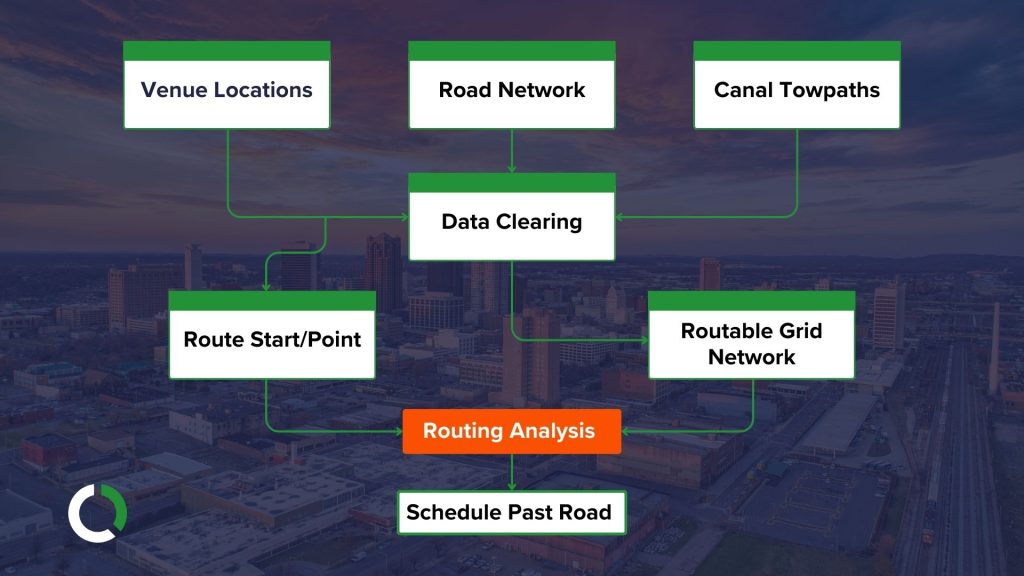
Hosting the Birmingham 2022 Commonwealth Games will have a huge positive impact on the West Midlands. As the region welcomes people from all over the world, additional transport capacity is required for spectators as they make their way between events. This could lead to congestion on footpaths near venues as spectators look for the best way to the next event.

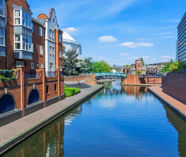
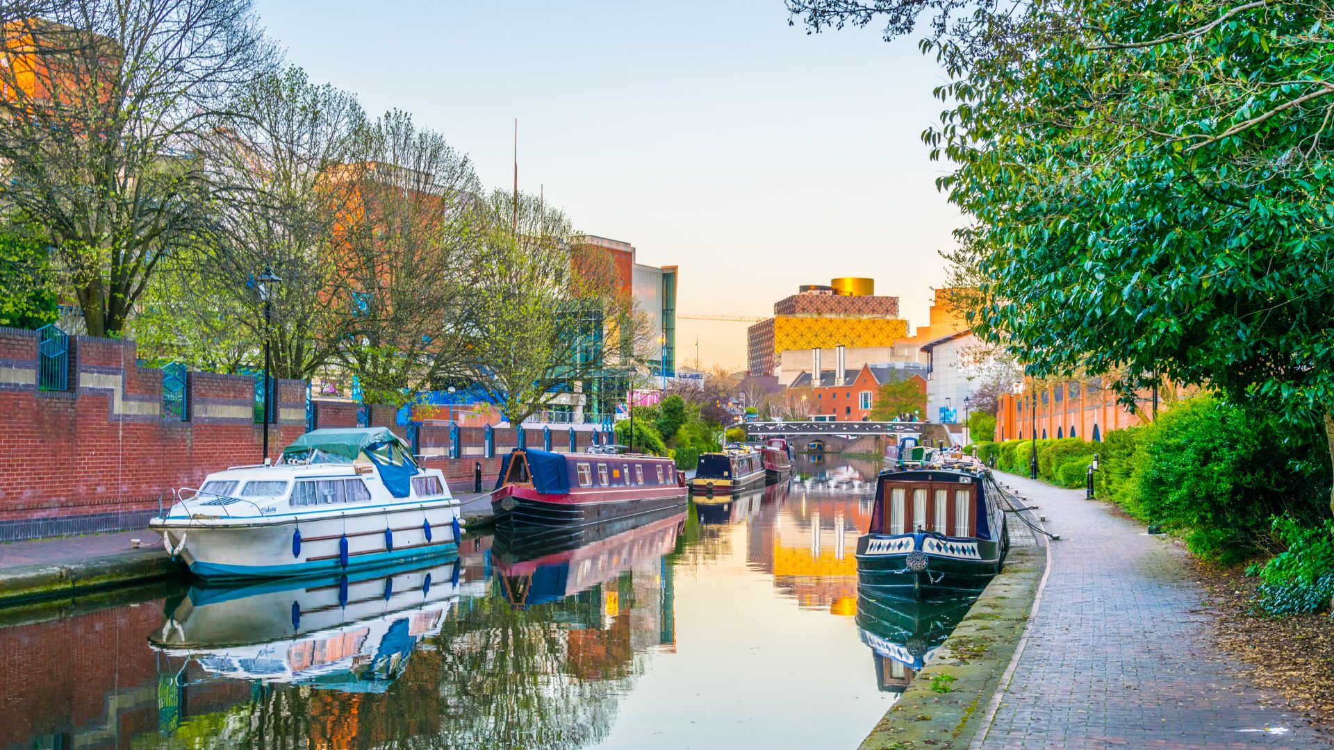
CRT identified that the towpath network is underused, and could be used to redirect visitors away from main roads and peak times between events. Understanding how visitors could use the CRT network could ease congestion and help plan the location of facilities such as toilets, refreshments and signage.

Our Solution – Routable Network

Our team’s objective was to compile the necessary data, apply a routing algorithm and evaluate the results with the Trust.

  • Through combining and enhancing data from Ordnance Survey map, NaPTAN transport stops, and the CRT’s towpath dataset, the team created a routable network between sporting venues and public transport nodes.
  • Multiple routes were generated between venues using the road network, canal towpaths and thousands more when combined with public transport nodes within a 5km radius of each venue.
  • Our team used its proprietary routing software to generate the network. Tools used included Python, QGIS and ArcGIS with the final package delivered to the client as an ESRI geo database.
  • This data will be included ion the CRT’s planning in the run-up to the 2022 Commonwealth Games.

Smart Routing for Seamless Events

Ideal for large-scale events spread across towns or cities, this solution optimises pedestrian flow, reduces congestion, and enhances the visitor experience by intelligently connecting venues, transport hubs, and underused pathways.

Get in touch

Speak with one of our experts today and find out more about how our solutions can help improve your local amenities or large scale events.
How can we help?

Start the Conversation

Get the answers you need. Start your geospatial journey with Tracsis Geo Intelligence and get in touch with our specialists to learn more.

This field is for validation purposes and should be left unchanged.
Name(Required)
Email(Required)
Please let us know what's on your mind. Have a question for us? Ask away.
Our clients

Who we work with