Ecology / Infrastructure
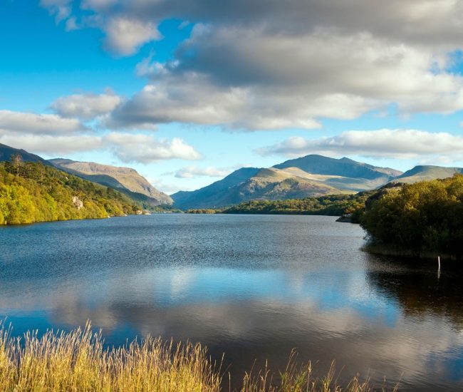
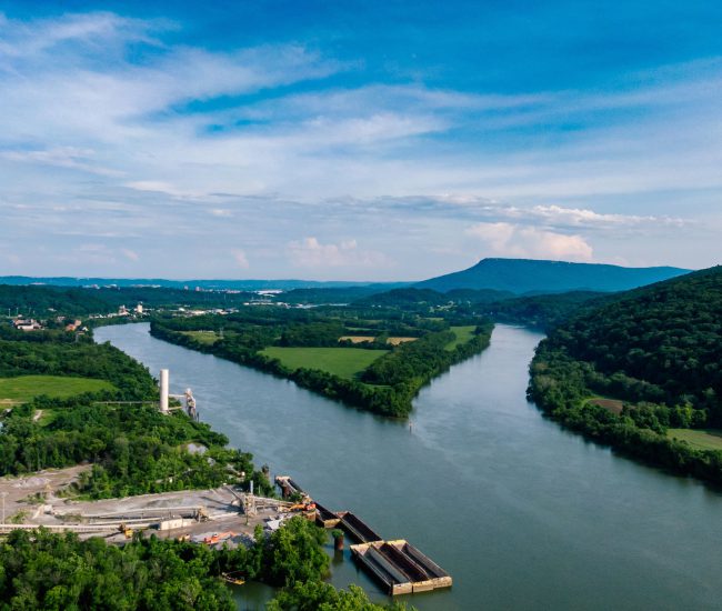
GIS Impact Assessment of European River Networks | EU AMBER
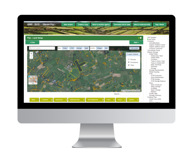
The Nutrient Management System from Compass Informatics is a user-friendly, enterprise-scale digital tool that streamlines sustainable nutrient planning for farms. By integrating GIS mapping, soil and nutrient data, and automated planning workflows, it allows advisors to generate large-scale, detailed farm nutrient plans efficiently.
The system promotes sustainable farming and ensures compliance with key regulations and schemes:
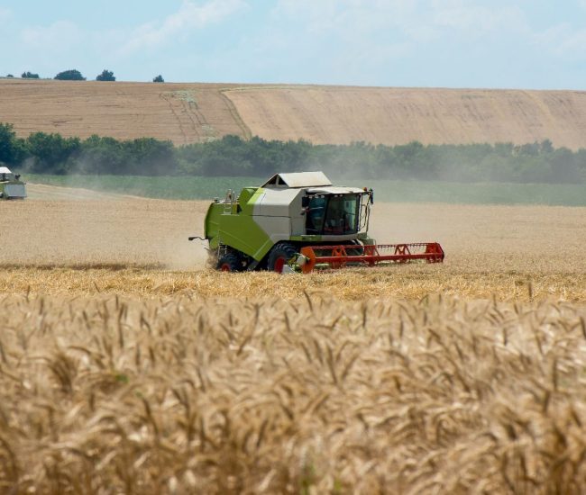
Effective nutrient management is vital for sustainable farming. Nutrient Management Plans optimise fertiliser and manure use, match crop nutrient needs, reduce environmental impact, improve soil health, and ensure compliance with national fertiliser registers and soil report requirements.
Our approach has been successfully delivered at national scale through a project for Teagasc, Ireland’s Agriculture and Food Development Authority (the equivalent of ADAS or AHDB in the UK) by our sister company Compass Informatics.
→ Read the Teagasc Case Study to see how a nationwide nutrient management system was implemented to support advisors and farmers at scale.

Tracsis Geo Intelligence’s solution leverages best-practice IT tools, including Microsoft .Net and GIS technologies, and offers seamless integration with existing agricultural data systems.
This ensures efficient management of:
By implementing this solution, agricultural organizations can enhance their operational efficiency, improve environmental sustainability, and ensure regulatory compliance.
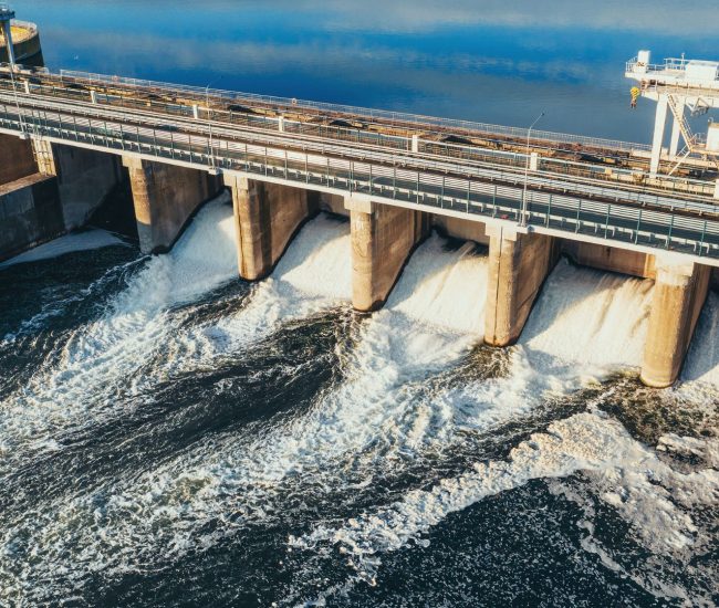
To meet 2050 Net Zero targets, agriculture, contributing over 10% of UK greenhouse gases and 45% of methane, must significantly reduce its emissions.

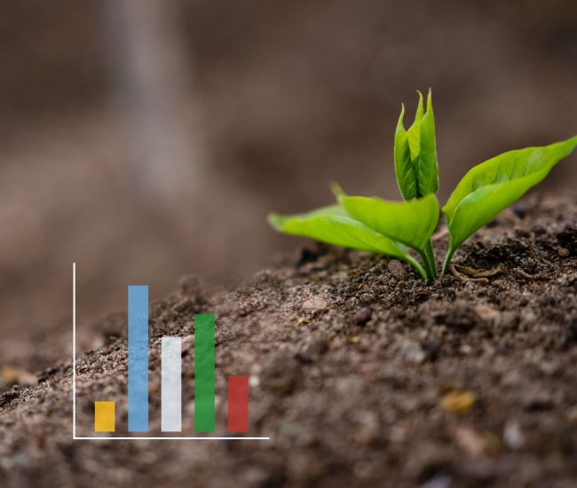
A robust nutrient management system facilitates agricultural organisations to improve farm productivity while minimising environmental impact. By providing precise data on soil composition and nutrient requirements, these systems enable targeted fertiliser application, reducing waste and promoting sustainable practices.


Get the answers you need. Start your geospatial journey with Tracsis Geo Intelligence and get in touch with our specialists to learn more.