Ecology / Infrastructure
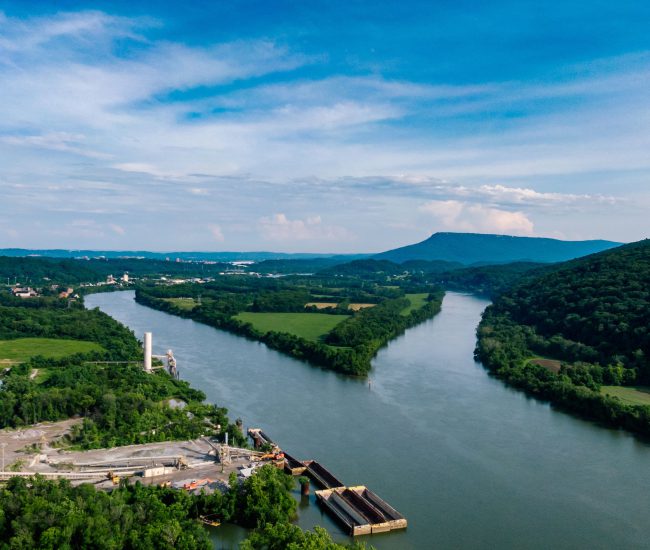
GIS Impact Assessment of European River Networks | EU AMBER

By analysing large datasets including anonymised mobile network data, we help organisations understand how, when, and where people and vehicles move. This insight supports smarter decisions across transport planning, urban design, and operational management.


One of our key implementations was in partnership with Citi Logik, where we helped develop a scalable, privacy-compliant analytics platform to process historic and real-time movement data. This project provided actionable insights for transport operators and urban planners, improving operational efficiency and informing infrastructure and policy decisions.
Public sector organisations are under increasing pressure to deliver smarter mobility, justify investment and meet climate targets, all while managing constrained budgets.
By integrating behavioural mobility data with GIS and modelling tools, we help planners design networks that reflect how people truly travel.
From large-scale festivals to major sporting fixtures, understanding movement patterns is essential for safety and efficiency.
Our People & Vehicle Movement Analytics not only reveals how people travel, but also supports accessibility and PTAL-style assessments by linking real-world movement patterns with public transport provision. By combining behavioural data with accessibility modelling, we help transport authorities and urban planners identify gaps in service coverage, prioritise investment, and ensure infrastructure aligns with actual demand.
See how we applied PTALs with the NTA to support accessibility planning and transport investment decisions.
Design events, cities and transport networks around how people actually move, not how we assume they do. Justify investment and deliver measurable outcomes.


Get the answers you need. Start your geospatial journey with Tracsis Geo Intelligence and get in touch with our specialists to learn more.