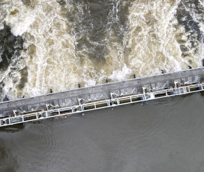
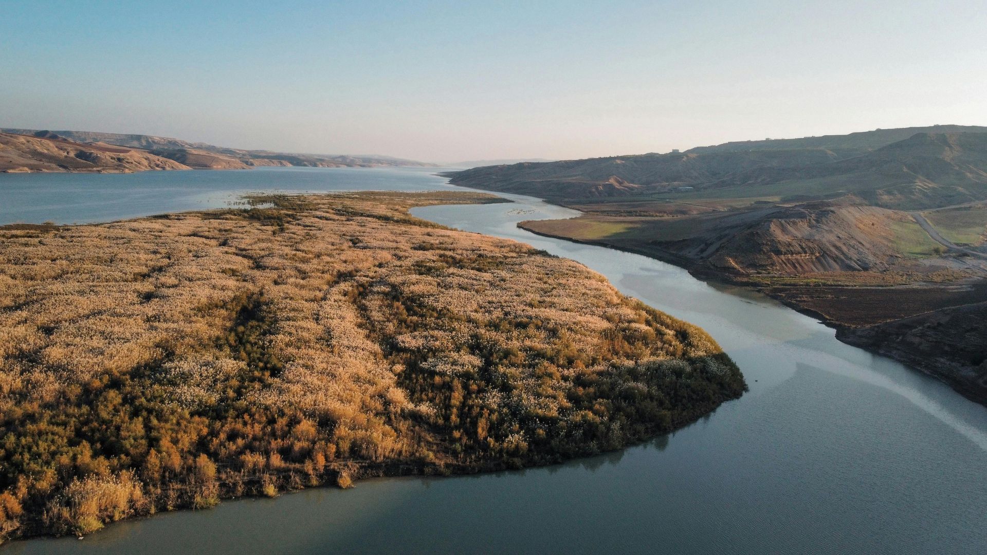
Skip to content
Mapping Barriers to Restore Natural Flow

By integrating and analyzing multiple river networks from estuary to sub-basin levels, the solution provides a comprehensive assessment of European river connectivity. This enables stakeholders to identify and address barriers that impede stream connectivity, facilitating more effective ecological restoration efforts.

Consolidating Environmental Intelligence

The development of an SQL database consolidating data on existing and historical salmon populations, alongside ecological quality scores and dendritic connectivity indices, offers a robust framework for understanding the impact of barriers on migratory species. This integration supports targeted conservation strategies.

Planning for Future Ecosystem Resilience

Forecasting temperature impacts on freshwater habitats allows stakeholders to anticipate ecological shifts and adapt restoration strategies to future conditions.

Empowering Smarter Environmental Management

A unified geospatial framework helps decision-makers balance ecological goals with infrastructure needs, promoting sustainable outcomes across sectors.

About The AMBER Project

AMBER seeks to apply adaptive management to the operation of barriers in European rivers to achieve a more effective and efficient restoration of stream connectivity.

To do this, AMBER are developing tools, models, and toolkits that will allow hydropower companies and river managers to maximise benefits and minimise ecological impacts.

This will improve energy security, help protect jobs, and boost European competitiveness, particularly in rural economies.

This project will also help protect global biodiversity in rivers by decreasing fragmentation, promoting habitat connectivity, and evaluating the merits of different restoration actions through developed tools.

Project Requirements

The project seeks to apply adaptive management to the operations of barriers in European rivers.

To do this, tools, models and analysis are required to support stakeholders such as hydropower companies and river managers to maximise benefits while minimising ecological impact.

Across the EU, there are an estimated 1 million barriers across a complex and interconnected river system.

Compass Informatics’ challenge was to consolidate all of the available data to assess connectivity, define different types of hydrological environments, locate barriers and assess the impact on Salmon catch reports over time.

Our Solution – Geospatial Analysis

  • Our expert team provided geospatial analysis services to provide insights on a variety of themes impacting the conservation of Atlantic Salmon in the EU.
  • Using SQL, R programming and ArcGIS, the team merged multiple river networks from estuary to sub-basin level to assess European river connectivity.
  • An SQL database was developed to consolidate data regarding the existing and historical salmon population using rod catch reports from 2000-2019.
  • Areas of the network were attributed to identify areas with geographically proximate qualities, ecological quality scores, dendritic connectivity indices and the location of main river barriers.
  • Water temperature was attributed using previous global monthly levels (1981-2014) and modelled projections for 2020-2080.
  • These large raster datasets were processed and amalgamated with the appropriate river sections, creating climate change forecasts for individual river networks.

7,808+ Fish Protected

Researchers from the AMBER project caught, measured and safely released over 7,800 fish across the UK and Denmark, from brown trout and Atlantic salmon to eels, bullhead and lamprey, capturing vital data to protect Europe’s rivers.

About TGI

Tracsis Geo Intelligence, a sister company of Compass Informatics, emerges with a sharpened focus on Earth Observation, Sustainability, and the UK Market.

Building upon the expertise and experience of Compass Informatics, Tracsis Geo Intelligence offers a comprehensive suite of geospatial solutions.

Compass Informatics is a leading provider of geospatial solutions, specialising in the application of GIS, IT, and mobile technologies across various sectors, including transportation, environment and natural resources.

Tracsis Geo Intelligence and Compass Informatics are both part of the Tracsis Group.

To learn more about this project, and how the solution provided may benefit your organisation, please contact our team at contact@tracsis-geointelligence.com.

How can we help?

Start the Conversation

Get the answers you need. Start your geospatial journey with Tracsis Geo Intelligence and get in touch with our specialists to learn more.

This field is for validation purposes and should be left unchanged.
Name(Required)
Email(Required)
Please let us know what's on your mind. Have a question for us? Ask away.