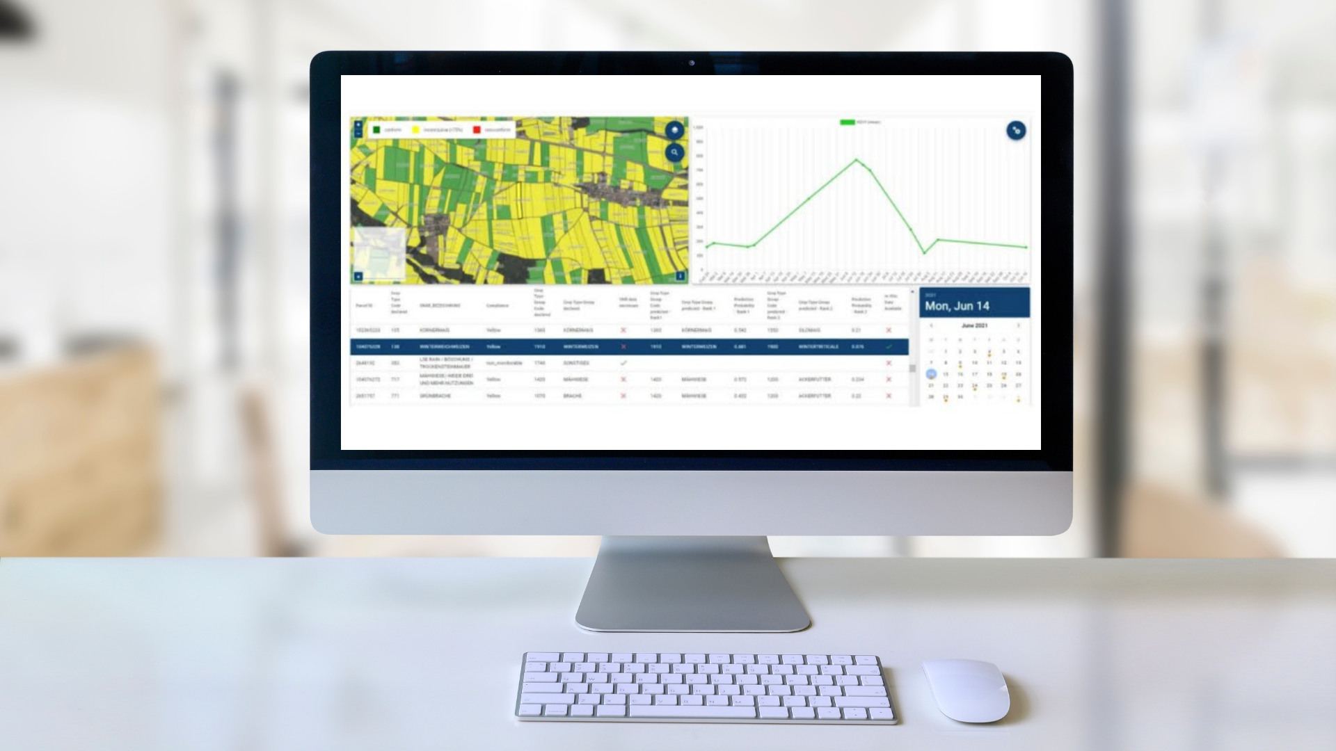
To efficiently monitor land use and regulatory compliance, Tracsis Geo Intelligence provides an automated Area Monitoring System (AMS). It uses satellite data and analytics to streamline processes, offering a superior alternative to traditional, resource-intensive inspections.

Our Solution
Tracsis Geo Intelligence offers a comprehensive Area Monitoring System (AMS) that leverages satellite imagery and advanced analytics to automate land cover monitoring and compliance verification.
This solution is ideal for organisations in the following sectors:
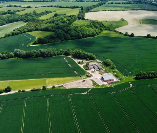
- Agriculture: Monitor agricultural activities, verify land-use claims, and ensure compliance with subsidy programs.
- Environment: Track deforestation, identify illegal land use changes, and monitor protected areas.
- Government & Community (Public Sector): Manage public lands, enforce zoning regulations, and detect unauthorised development.
- Community & Event Management: Monitor land use for events, track temporary structures, and ensure compliance with permits.