Skip to content
Identify environmental risks before they impact rail operations

Continuous monitoring of slopes, embankments, soil conditions and land movement enables early identification of potential failures. This allows teams to intervene sooner, reducing disruption, emergency maintenance and safety risks.

Focus resources on the sections of track that need attention most

By combining Earth Observation data with land and asset information, rail teams gain corridor-level visibility of risk trends. This enables more targeted inspections, better planning of interventions and more efficient use of limited maintenance resources.

Maintain visibility of land use obligations and environmental constraints

The system provides a structured spatial framework to monitor land ownership, land use change and environmental restrictions across railway corridors. This helps operators meet regulatory requirements and maintain clear audit trails for compliance and reporting.

Support strategic decisions with continuous environmental intelligence

Time-series analysis of satellite and geospatial data reveals long-term environmental trends such as vegetation growth, runoff changes and ground stability. This insight supports climate adaptation strategies, capital investment planning and sustainable infrastructure management.

Railway Corridors

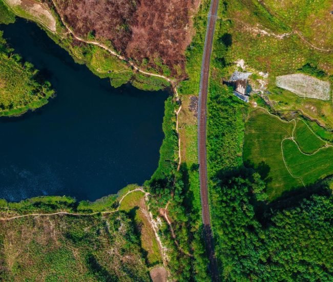
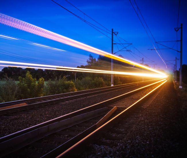
Rail Infrastructure in a Changing Landscape

Rail infrastructure doesn’t exist in isolation, it sits within living, changing landscape.

The stability and permanence of that landscape affect everything from embankment integrity and drainage performance to vegetation behaviour and long-term climate risk. 

As climate patterns continue to shift across the UK and Ireland, railway operators are under growing pressure to ensure network reliability while managing environmental risk. Traditional asset monitoring focused mainly on track, signalling and equipment isn’t enough on its own. To build robust climate-resilient corridors, operators need a deeper understanding of the land that supports and surrounds rail infrastructure. 

Our Solution

Our Land Management System is a flexible geospatial platform designed to monitor, manage and analyse land at scale. 

It has been successfully deployed across multiple industries including agriculture, environmental monitoring and public sector land governance, where understanding land condition, land use change and environmental risk is critical to operational performance and compliance. 

Our Land Management System at its core provides: 

  • A Structure spatial framework for managing land assets
  • Integration of satellite and Earth Observation datasets
  • Time-series analysis of environmental change 
  • Inspection and survey data capture
  • Risk modelling and reporting tools

Applying Land Intelligence to Railway Corridors

When applied to rail infrastructure, the same platform provides subsequent insight into the environmental factors that influence corridor resilience. Our solution allows railway corridors to interact continuously with: 

  • Slopes and embankments 
  • Drainage networks 
  • Adjacent land use
  • Vegetation cover 
  • Soil Type
  • Surface water behaviour 

Supporting Long Term Climate Resilience

Beyond day to day monitoring, integrating Earth Observation with our Land Management System supports strategic objectives such as: 

  • Climate adaption planning 
  • Regulatory and ESG reporting 
  • Capital investment justification and transparency 
  • Cross team collaboration between engineering and environmental functions

By continuously monitoring land condition and change and optimising geospatial data, operators gain the ability to track environmental trends over time and not just individual events. 

Rather than functioning as a static mapping system, our Land Management System acts as a dynamic decision-support environment helping translate land data into actionable intelligence. 

Linear Infrastructure Modelling for Optimal Route Planning

Reduce costs, optimise routes and minimise environmental impact. Find out how our Linear Infrastructure Modelling solution can help Transport companies reach optimal efficiency.

What this means in practice for UK Rail Teams 

For route and asset teams across the UK rail network, this situation is all to common:

Heavy rainfall is forecast, drainage teams are stretched, embankments on certain routes are already on a watch-list.  Speed restrictions go in as a precautionary measure and inspections are reactive and resource intensive.

Now imagine having a corridor level view that shows: 

  • Which embankments have shown gradual ground movement over the last 12 months 
  • Where vegetation density has increased near drainage assets 
  • Which sections or parcels consistently sit on high-risk soil types 
  • Where land use changes adjacent to the railway could be altering runoff behaviour

These capabilities allow you to focus on the specific areas of the track that are genuinely vulnerable and need attention. Also providing you with the insights to predict events and monitor trends. Ideal for engineers and infrastructure managers to make more data backed decisions, clearer justification of targeted interventions and overall better use of limited resources. 

Connecting environmental intelligence to the operational decisions you’re already making.

Our Core Deliverables  
  • Improve Compliance Monitoring 

Enable structural oversight of land ownership, land use obligations, environmental constraints and regulatory requirements across railway corridors. 

  • Gain Insight Into Changing Land Conditions 

Provide continuous visibility of environmental change such as vegetation growth, land cover shifts or ground stability using EO and geospatial analytics. 

  • Mitigate Environmental Risks 

Identify emerging risks early through structured monitoring and multicriteria analysis, reducing the likelihood of disruption caused by embankment instability, draininge issues or land use change. 

  • Plan for Long Term Sustainability 

Support climate adaption strategies, capital investment decisions and ESG reporting with objective, spatially grounded evidence.

The New Era of Intelligent Transport

The rail industry is entering a new era defined by connected systems, predictive analytics and integrated digital infrastructure. 

Our sister company Tracsis Rail & Technology Services highlights the benefits and critical need for up to date systems that are predictive rather than reactive. With decades of experience supporting rail operators across operations, safety, performance optimisation and asset management Tracsis Rail & Technology Services is helping shape how intelligent transport is delivered in practice, not just in theory. 

The critical next step is about integration – connecting data cross systems, disciplines and environments to create clearer, more complete picture of network performance and risk.  

The New Era of Intelligent Transport

Our Partnership Gives You Access to a Network of Expertise and Solutions

By partnering with Tracsis Group entities such as Tracsis Geo Intelligence or Tracsis Rail & Technology, clients gain access to a broad and complementary portfolio of leading solutions, spanning operations analytics, asset management, digital rail technology, geospatial intelligence and data analytics. 

Get in touch