Tracsis Geo Intelligence Wins Major UK Contract for Geospatial Monitoring Service with RPA
Tracsis Geo Intelligence Wins Major Contract with Rural Payments Agency to Deliver Groundbreaking Geospatial Monitoring Service in the UK
Tracsis Geo Intelligence, has been awarded a major contract by the UK’s Rural Payments Agency (RPA) to deliver a cutting-edge Geospatial Analytics and Remote Monitoring Service. The five-year contract, valued at up to £9.6 million and with options to extend for a further five years, will incorporate satellite imagery and geospatial data within a wide area monitoring service, transforming how agricultural land use is monitored and managed across the UK.
The Rural Payments Agency, an executive agency of the Department for Environment, Food and Rural Affairs (Defra), is responsible for administering payments across a range of agricultural and environmental schemes.
Through this new service, the RPA aims to streamline and modernise monitoring of land, using technology to deliver faster, more accurate insights that reduce administrative burden and support better land management decisions.
A New Era for Agricultural Monitoring in the UK
Under the contract, Tracsis Geo Intelligence will deliver a Minimum Viable Product (MVP) within 12 months, establishing a foundation for a scalable, data-driven monitoring service. The core capabilities will include:
- Using satellite and other imagery sources to identify farm habitats and monitor land-use changes.
- Extracting and analysing key markers from imagery sources to support high quality outcomes.
- Integrating data across systems and publishing outputs to RPA platforms.
- Supporting the uploading of imagery and ground-truth data at source.
- Enabling future expansion, such as the integration of additional imagery sources and new data products.
The service will not only enhance RPA’s operational efficiency but also provide a foundation for innovation across Defra Group organisations, helping to support environmental outcomes, sustainability goals and evidence-based policymaking.
Supporting Modernisation Across Defra
Tracsis Geo will deliver the service alongside partners NEO BV with support services from Tracsis PLC and AWS. The contract also allows for other Defra Group Bodies and UK Paying Agencies to access the service under the same agreement, further broadening its impact across the UK’s environmental and agricultural landscape.
Enabling Data-Driven Land Management
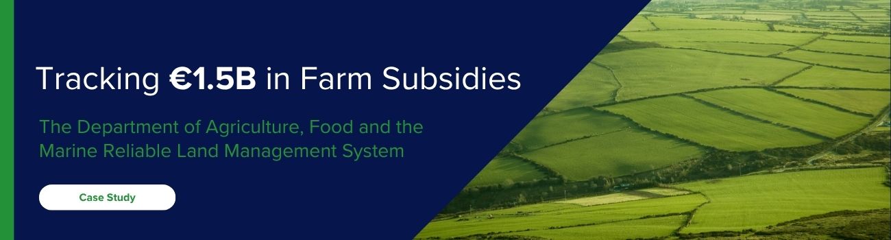
“This project represents a major step forward in how public agencies leverage geospatial intelligence, by combining advanced satellite analytics with our expertise in data integration and geospatial systems, we’re helping the RPA deliver a smarter, faster, and more transparent approach to agricultural monitoring. This aligns perfectly with Tracsis Geo Intelligence’ mission to enable better decision-making through location intelligence similar to the work we have already carried out in Ireland for the Department of Agriculture, Food and Marine”
– Phil Baldacchino-Steward, Sales Director – Professional Services at Tracsis Geo Intelligence
About Tracsis Geo Intelligence
Tracsis Geo Intelligence is a company specialising in geospatial and data analytics solutions that support sustainable development, public sector efficiency, and digital transformation. With offices in Ireland, and the UK Tracsis Geo Intelligence partners with government and enterprise clients to deliver impactful solutions in areas such as land management, transport, environment, and infrastructure.