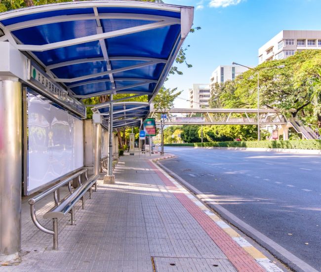
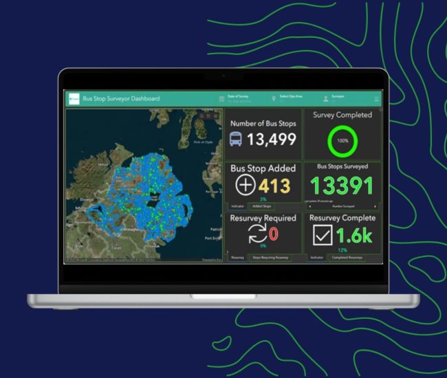
Find out how we delivered the first fully verified, high-fidelity geospatial inventory of Northern Ireland’s entire bus network, transforming Translink from outdated, inconsistent records to a modern, data-driven operational model. Covering 13,499 bus stops across 14,130 km².
Client Challenge
Translink faced significant operational and compliance challenges due to an outdated and unreliable spatial dataset underpinning its extensive bus stop and shelter network. Our team supported the modernisation of these infrastructure records through a large-scale, national survey to fully audit and characterise every stop and shelter.
The project was complex due to several underlying issues:
- Logistical inefficiencies caused by inaccurate or incomplete location data that hindered effective route planning and network optimisation
- Long‑standing maintenance backlogs resulting from inconsistent records that obscured the true condition and upgrade requirements of stops and shelters
- Substantial compliance and accessibility gaps due to the absence of reliable statistics on critical infrastructure attributes, such as the number of wheelchair‑accessible stops required for regulatory reporting