Skip to content
Linear Infrastructure Modelling

Identify and compare potential rail corridors using terrain, elevation, environmental constraints, existing infrastructure and land-use data.

Example: Use least-cost path modelling to identify potential alignments for a new rail connection, helping planners understand the trade-offs between route length, construction complexity, environmental impact and other constraints.

Risk & Hazard Modelling

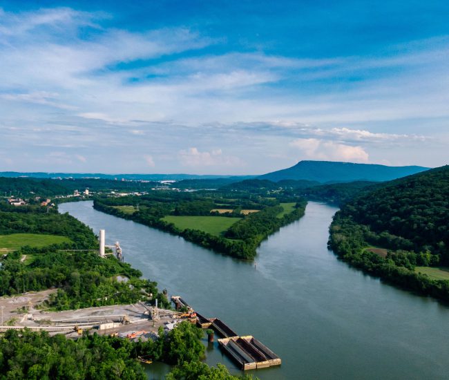
Understand where flooding, landslip, terrain instability and other environmental hazards intersect with railway infrastructure.

Example: Combine slope, terrain and hazard datasets with the rail network to identify sections of track potentially exposed to landslip, supporting targeted inspection and proactive resilience planning.

Land Management System

Monitor land use and condition across the railway estate and understand how changes in surrounding land may create operational or infrastructure risks.

Example: Use the Land Management System to monitor land parcels alongside the railway, identify changes in land use or condition and highlight locations requiring further investigation.

Mobile GIS Data Capture

Capture accurate, geolocated information about railway assets and infrastructure directly in the field.

Example: Survey teams can record asset locations, condition, photographs and observations using mobile GIS, creating a validated spatial record that can feed into wider asset management systems.

Earth Observation

Use satellite and aerial imagery to monitor large areas of railway and identify changes in vegetation, land cover and the wider environment.

Example: Monitor vegetation growth or land-cover change along an extensive rail corridor and use the results to prioritise physical inspection and maintenance activity.

Using geospatial intelligence to plan, manage and protect the railway

Rail is fundamentally a geographic system.

Every section of track, station, structure, land parcel, lineside asset, environmental constraint and passenger movement exists within a spatial context. Understanding that context can help rail organisations make better decisions — from planning new infrastructure and managing assets to assessing environmental risk, improving accessibility and protecting the network against climate-related disruption.

We bring together GIS, spatial modelling, mobile data capture, Earth Observation, land management and data integration to turn complex location-based information into practical intelligence for the rail industry.

Linear Infrastructure Modelling

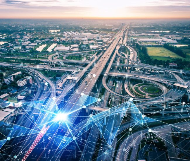
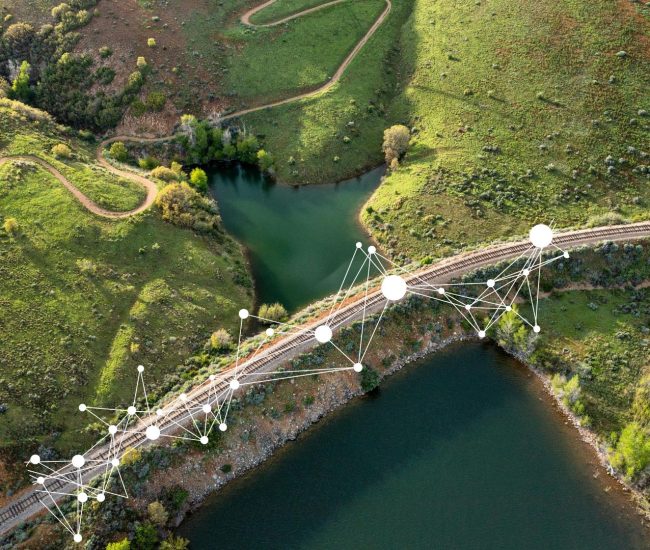
Our Linear Infrastructure Modelling capability combines terrain, slope, environmental constraints, flood risk, existing infrastructure and land use to identify and compare potential rail corridors.

Least-cost path modelling can assess alternative alignments against defined constraints, highlighting challenging terrain, sensitive environments and existing infrastructure.

This provides a more evidence-led basis for route development before significant resources are committed to detailed design.

Linear Infrastructure Modelling for Optimal Route Planning

Monitoring change at scale

Earth Observation provides an additional monitoring layer, using satellite and aerial imagery to identify changes in vegetation, land cover and the wider environment across large areas. For extensive railway networks, it isn’t always practical to rely solely on physical inspection to understand what is changing.

Combined with our Land Management Systems, this can help organisations monitor land use and condition alongside the railway. For example, changes in vegetation or land condition can be identified and viewed alongside network and asset information, helping teams prioritise locations for further inspection, maintenance or risk assessment.

National-scale monitoring with local-level insight

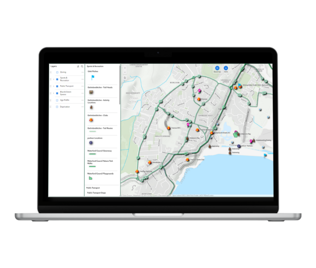
Monitor entire rail networks at scale while retaining the detail needed to understand individual assets, locations and risks.

Understanding passengers and communities

Geospatial intelligence isn’t only about physical infrastructure, it can also help rail organisations understand who the railway serves.

Our Passenger Catchment and Accessibility Analysis capabilities can combine demographic, transport and geographic information to understand how communities relate to stations.

For example, when assessing a potential new station, population and accessibility modelling can help quantify the communities that could be served, identify areas with limited access to existing stations and provide evidence to support an investment case. This connects infrastructure planning with the people who ultimately depend on the railway.

Our Partnership Gives You Access to a Network of Expertise and Solutions

Under the Tracsis umbrella, clients can access a broad and complementary portfolio of solutions spanning operations analytics, asset management, digital rail technology, geospatial intelligence and data analytics.

Tracsis Geo Intelligence is a core capability within this wider offering, connecting geospatial data with operational, asset, environmental and demographic information to help rail organisations understand not just what is happening, but where it is happening, what is around it and what it means for the network.

From strategic route planning to day-to-day asset and land management, geospatial intelligence can support better decisions throughout the railway lifecycle.

Get in touch